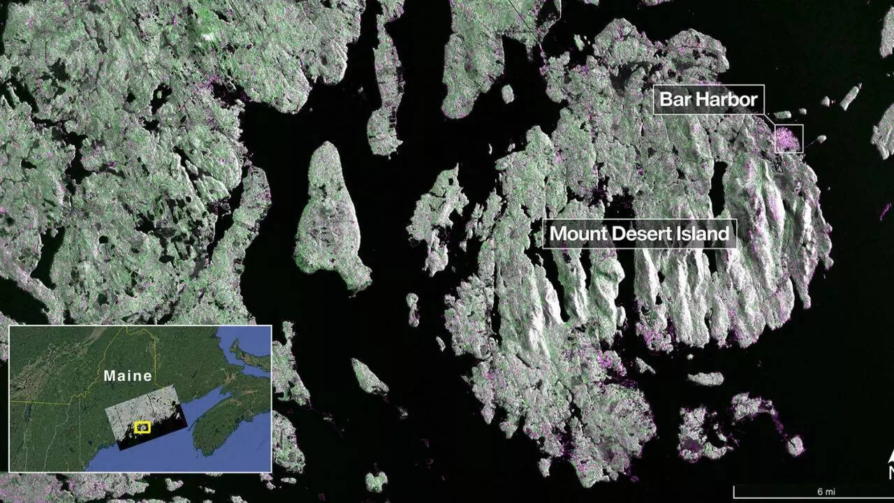
NASA and ISRO’s joint NISAR satellite, launched in July 2025, has released its first radar images, showcasing Earth’s surface in remarkable detail. The dual-band radar system provides unprecedented insight into forests, wetlands, farmland, and urban areas. These images highlight NISAR’s potential for monitoring ecosystems, agriculture, and natural disasters.
Nasa-Isro’s NISAR sends first radar images of Earth’s surface